


Blog
Sensor Network Combats Vancouver Air Pollution

Article Details
Last Updated
14 September 2025
Published
22 May 2014
Category
Outdoor
A wireless sensor network deployed in the Fraser Valley to the east of Vancouver has provided air quality scientists with a powerful yet cost-effective weapon in the fight against ozone pollution.
During the summer months when sunlight reacts with vehicle exhaust, ozone can reach levels that are harmful to humans, crops, and the environment. This phenomenon is exacerbated in and around cities, particularly when natural features conspire to lock in smog – which is exactly what happens in the Fraser Valley where the surrounding mountains trap the air pollution produced by Vancouver.
Over the years MetroVancouver, the organization responsible for air quality monitoring in the region, has invested heavily in expensive ‘reference’ equipment and computer models to measure then predict ozone levels throughout the Valley. But this reference equipment takes readings from only a few locations, and the computer models make large assumptions about where the ozone comes from and how it moves around once it is produced.
As a lead scientist involved in the project, Dr. Mark Bart, puts it: “It’s like trying to produce a map of the world based on the knowledge of only a few countries. To say it involves guesswork is a considerable understatement.” What’s been missing up till now is a way to measure ozone at many different locations, simultaneously and in real-time. Using existing equipment was not possible due to its high cost and lack of mobility.
That’s what led to the world’s first large-area solar-powered wireless sensor network for measuring outdoor ozone. The project was funded by the New Zealand Government and involved scientists from the University of Auckland, MetroVancouver, the University of British Columbia, and Environment Canada. The technology was provided by Aeroqual, a leader in accurate and affordable air quality monitoring, also based in New Zealand.
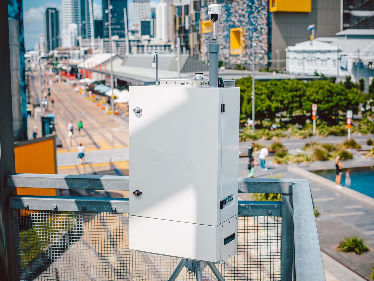
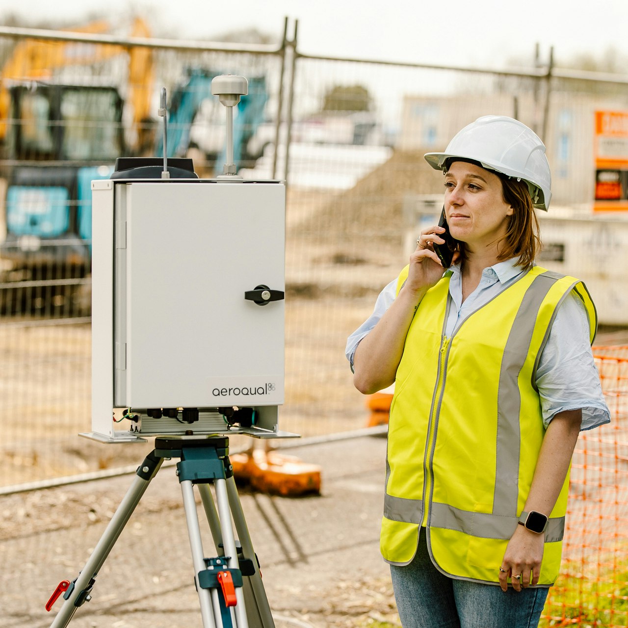
Installed in June 2012, the network comprised 60 high-quality ozone sensors based on low-cost technology, integrated with cellular telephone modems and GPS receivers, returning data to a webserver at 1-minute temporal resolution. Scientists could log in from anywhere in the world to see real-time data, a key feature for a project which involved organizations in multiple locations and time zones.
The initial results of the project were presented at the fall meeting of the American Geophysical Union. The scientists showed it was possible to build a low-power, low-cost ozone sensor network that filled in the gaps in the reference station network and shed new light on the complex spatial variation of concentrations of this important pollutant. Their results have been described in a recently published scientific paper – Measurement Science and Technology, volume 24 (2013) 065803 (12pp).
Aeroqual, the maker of the low-cost sensors used in the network, is working with other organizations involved in city-wide pollution control, keen to see if the network approach can be used to assist them with measurement challenges in their jurisdictions. One example will see a sensor network deployed in California later this summer. The company also provides an OEM version of the sensor technology for incorporation into other products.
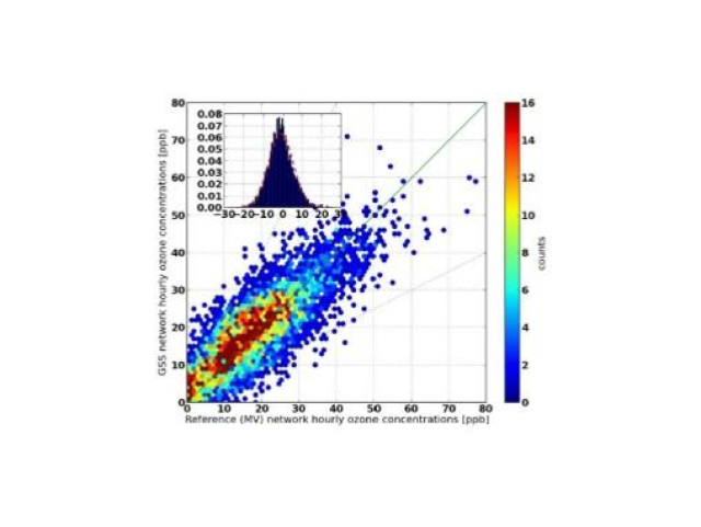
Project results showing correlation with reference instruments.
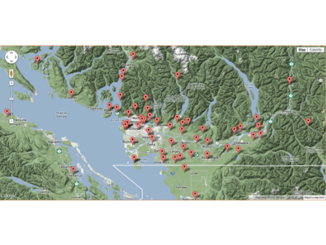
Map of network.
Real-time air monitoring made easy
Take the time and hassle out of your next project with a real-time air quality monitoring solution.