


Blog
Why Location Matters in Air Quality Monitoring

Article Details
Last Updated
25 May 2026
Published
16 February 2026
Category
Outdoor
In air quality monitoring, we spend a lot of time talking about what we measure.
What gets far less attention is where and when that measurement was actually taken, even though those two dimensions are fundamental to understanding and trusting the data.
This isn’t a new idea. Spatial and temporal context have always mattered in air quality. But as monitoring becomes more automated and software-driven, those fundamentals don’t always get the attention they deserve.
At a minimum, every data point should answer four basic questions:
- What was measured?
- What was the concentration?
- When was it measured?
- Where was it measured?
Without all four, the data quickly loses meaning.
One way of making this spatial context explicit is through the concept of a monitoring location.
At its simplest, a monitoring location is a geographic point in space that data is tied to at the moment it’s collected. Rather than data belonging purely to an instrument, it also belongs to a place. This distinction turns raw measurements into traceable environmental records.
This matters because real project sites are rarely static.
Real sites change, and so do instruments
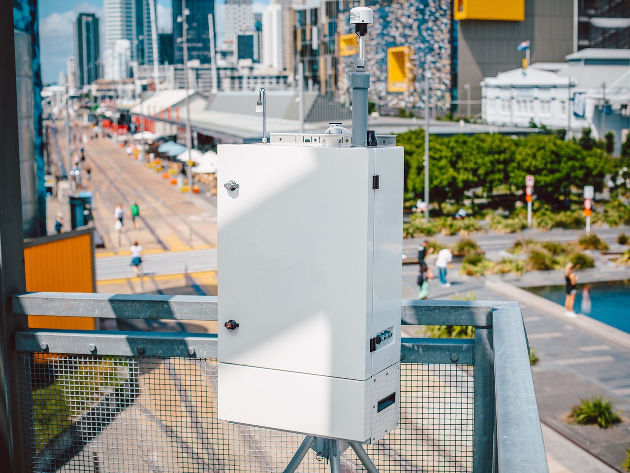
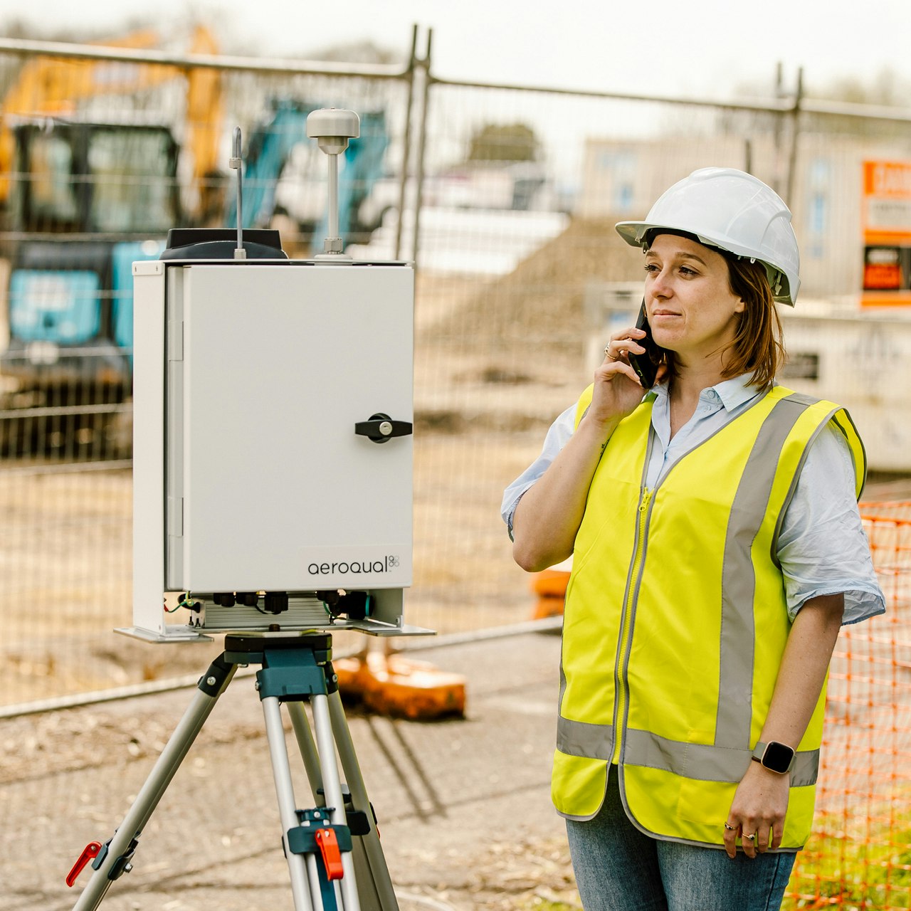
On remediation sites, instruments are routinely moved. Wind direction shifts during the day, active work areas move, haul routes change, and instruments are often brought in overnight for security reasons and redeployed the next morning. Occasionally, an instrument is damaged and needs replacing mid-shift.
All of this is normal operational behaviour.
The challenge is ensuring that the monitoring software still accurately reflects where data was actually captured. This challenge forces an important design question: Should air quality data be anchored to the instrument that recorded it, or to the location where it was captured?
If data is fundamentally instrument-centric, then every move, replacement, or failure fragments the dataset. Continuity has to be reconstructed after the fact. This also increases complexity when performing difference-based calculations across multiple data points (as required for SCAQMD Rule 1466 and NYS DER-10) and can make traceability a headache.
A location-centric approach starts from a different premise. The primary purpose is to determine the air quality at a specific place. Instruments are simply the means of collecting that data. When instruments move or are replaced, the location that data was collected remains constant, preserving traceability over time, simplifying calculations, and making the audit trail easier to follow. When instruments are routinely packed up at night, redeployed the next day, or moved mid-shift, tying data to instruments also makes it increasingly difficult to confidently reproduce historical results for audit purposes.
Once you adopt a location-centric approach to data management, the next question becomes how best to associate each data point with its true physical location.
GPS – accuracy vs. automation
In theory, the most secure approach is to associate a GPS coordinate with every data point, captured automatically by the instrument. This removes human error and ensures each measurement is spatially stamped at source.
However, in practice, GPS-based approaches aren’t without their own pitfalls.
Many remediation sites are in built-up urban areas (places like Manhattan or Brooklyn) where the sky view is often obstructed by buildings. In these conditions, GPS accuracy can degrade significantly. Instruments can appear to “jump” around, experience location drift over time, or be incorrectly positioned altogether.
These issues are exacerbated on small sites, where modest position uncertainty can change how an instrument’s location is interpreted relative to site boundaries. If you’re performing difference calculations such as upwind/downwind as required by DER-10, this kind of error directly affects the results.
In short, automatic positioning via GPS is great, but it can also introduce uncertainty that is often difficult to control.
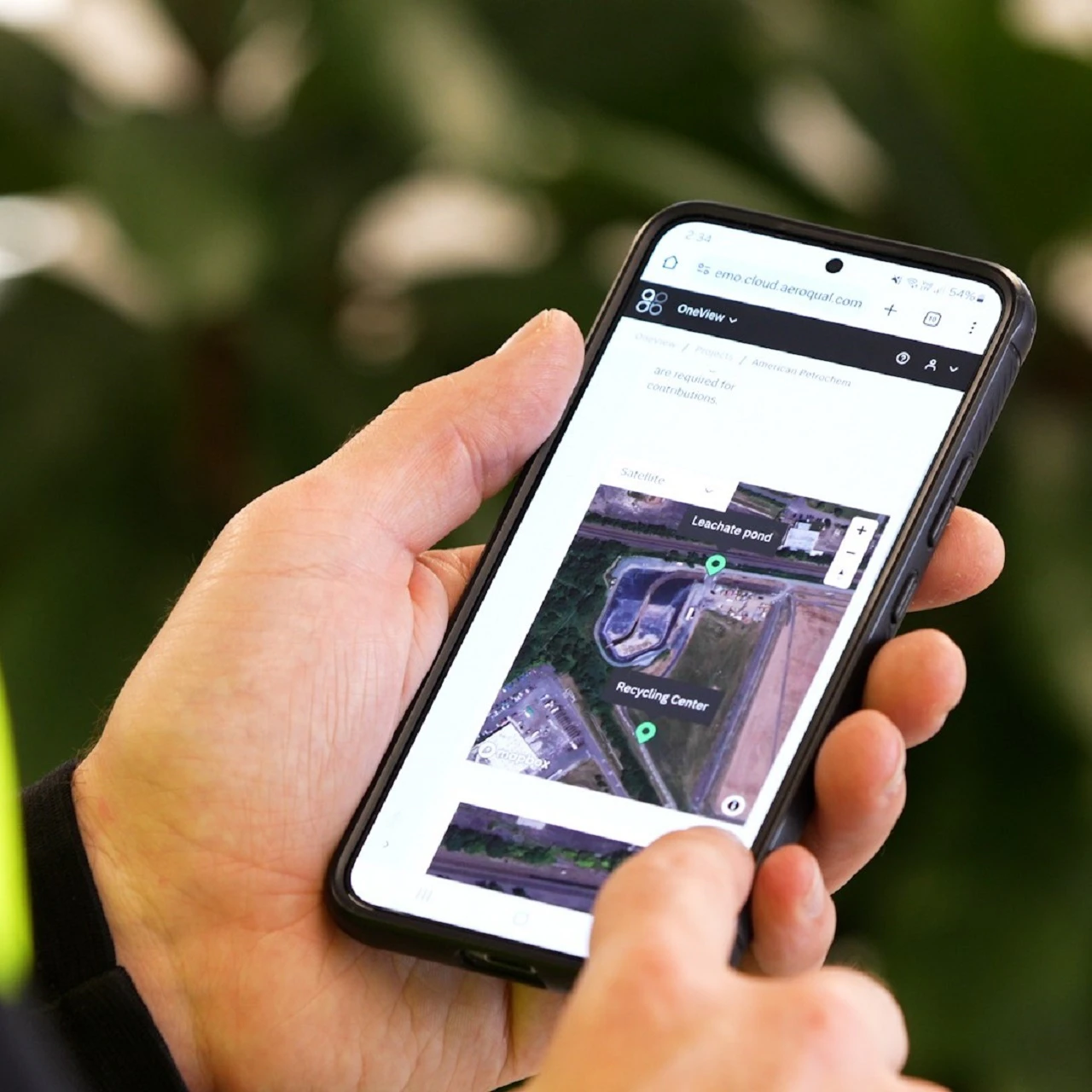
To manage GPS limitations in challenging environments, we allow users to manually define monitoring locations on a mapview within the software. This ensures that data is consistently tied to known, validated positions on the site, even in situations where GPS accuracy is unreliable.
When an instrument is moved to a new position, its monitoring location is updated. That’s a manual step, but it’s also an explicit one. It makes location changes intentional, visible, and auditable, rather than inferred from sometimes noisy GPS signals.
This thinking is why monitoring locations are a core concept in Aeroqual OneView. Data is stored with its time, its location, and the instrument context at the moment it was collected, enabling accurate regulatory calculations, consistent historical reporting, and defensible audit trails even when instruments are moved or replaced. Not all platforms take this approach, and the limitations often only become visible when data needs to be explained or reproduced at a later date.
Final thought
If you’re operating a DER-10 or Rule 1466 site, or any project where instruments move or get replaced during the day, this is worth thinking about.
Good air quality monitoring isn’t just about quality sensors, accuracy, and uptime. It’s also about what was measured, when it was measured, and where it was measured.
Get those things right, and everything becomes easier.
- Jason Thongplang, Senior Product Manager
Where can I find out more?
To speak with an expert, or for help designing the perfect air quality monitoring solution for your next project, get in touch here!
Related products


Air quality monitoring made easy
Protect worker and community health and ensure regulatory compliance with defensible real-time data you can trust.